Let's make a small detour before getting into the details of my hike at Killarney Provincial Park.
I've been thinking about religion for years and yet, haven't whole-heartedly adopted any yet. However, I have always been fascinated by the strength faith can provide - faith in a super-power (existent or non-existent, depending on your belief), faith in a fellow living being, faith in yourself and the list goes on... Faith elevates the confidence in yourself and to some extent, isolates you from yourself (and your capabilities) in order to believe in something bigger. If channeled well, faith can do wonders - it can get you through difficult situations in life, it can give you the strength to keep going no matter what and, it can help you remain positive irrespective of your situation.
Now, here is the connection to Killarney that you've been waiting for - in each one of my multi-night, solo hikes, the first couple of nights have always been difficult. When I land on the trail, I am not tuned in, I don't know if I have it in me to complete the hike and do not know if I'll be able to overcome my internal fears.
I feel vulnerable.
However, I trust myself, and my physical preparation and somehow, get through this period of anxiety and self-doubt. I call this routine the "one step at a time" framework - I am sure others have written books about breaking down projects/tasks into mini-bits and tackling them one at a time. Federer talks about "one point at a time" in his commencement speech at Dartmouth university (transcript here and video here). A very simple philosophy of "one moment at a time" but probably the most difficult to execute because your mind keeps wandering ahead.
On this trip, I had fever for the first 2 nights and felt weak - and, as you'll see in my gear list, I didn't carry a sleeping bag this time (intentionally, to reduce weight). I had to trust myself and dig deeper (probably as deep as I had to in the Himalayas in 2013) to get through these 2 days. Faith in my abilities got me though, made me stretch beyond what I thought was possible when I am not at my best. I wanted to start with this somewhat philosophical detour to inspire you to continue trusting in your abilities and preparation.
Now on to some tactical details on the trip...
The overview
This is the flagship trail of Killarney Provincial Park (Ontario, Canada) and shows you almost the entire park in 7-8 nights and ~80 kms. It has been quoted as one of the best multi-day hikes in Canada and I can now see why. Campsite reservations can be made at Ontario Parks website. My only advice would be "Know your capabilities before you book" - this is a difficult hike and is risky in wet conditions. Do your research and plan your sites accordingly.
My itinerary
[Distances are as per Ontario Parks map]
Day 1: Drive from Toronto to George Lake Campground in Killarney Provincial Park (~5 hrs). Start the hike towards campsite H6 at Cave Lake [7.3 KM]
Day 2: H6 (Cave Lake) to H18 (Three Narrows Lake) [14.7 KM]
Day 3: H18 (Three Narrows Lake) to H23 (Not on a lake but adjacent to a stream) [10.1 KM]
Day 4: H23 to H35 (Boundary Lake) [11.9 KM]
Day 5: H35 (Boundary Lake) to H46 (Bunnyrabbit Lake) [10.8 KM]
Day 6: H46 (Bunnyrabbit Lake) to H50 (Sealey's Lake) [Cross the "Crack"; 12.6 KM]
Day 7: H50 (Sealey's Lake) to Goerge Lake Campground; Drive back to Toronto [7.2 KM]
The Hike
Day 1: Drive from Toronto to George Lake Campground in Killarney Provincial Park. Start the hike to wards campsite H6 at Cave Lake [7.3 KM]After a relatively long drive from Toronto very early in the morning, I started in good spirits.

An hour or so into the hike, I realized that I'd have to transition into "creek crossing" mode quite often on this trail due to heavy torrential rain in the last 2 days. Most of the creek crossings on this trail were on beaver dams which couldn't hold the volume of rain in the last couple of days. That meant that the only way to cross these streams is... through them. This also meant allocating time for changing from hiking shoes into sandals, and then back into hiking shoes. This could easily add an extra, unbudgeted hour to the day if there are 3-4 such crossings.

The trail was very well marked though. Blue markers for the hiking trail and yellow markers for the campsite detours.

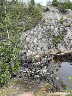
The crossing below (broken bridge in the first image, overflowing beaver dam in the second image below) was a little more time consuming as you had to evaluate the right place to cross and the rocky climb right after the crossing added a bit more complexity to the logistics. And, there was navigational complexity after crossing this one as the marker was nowhere to be found at the top of the hill. Luckily, I was able to navigate back to the trail with my AllTrails app.


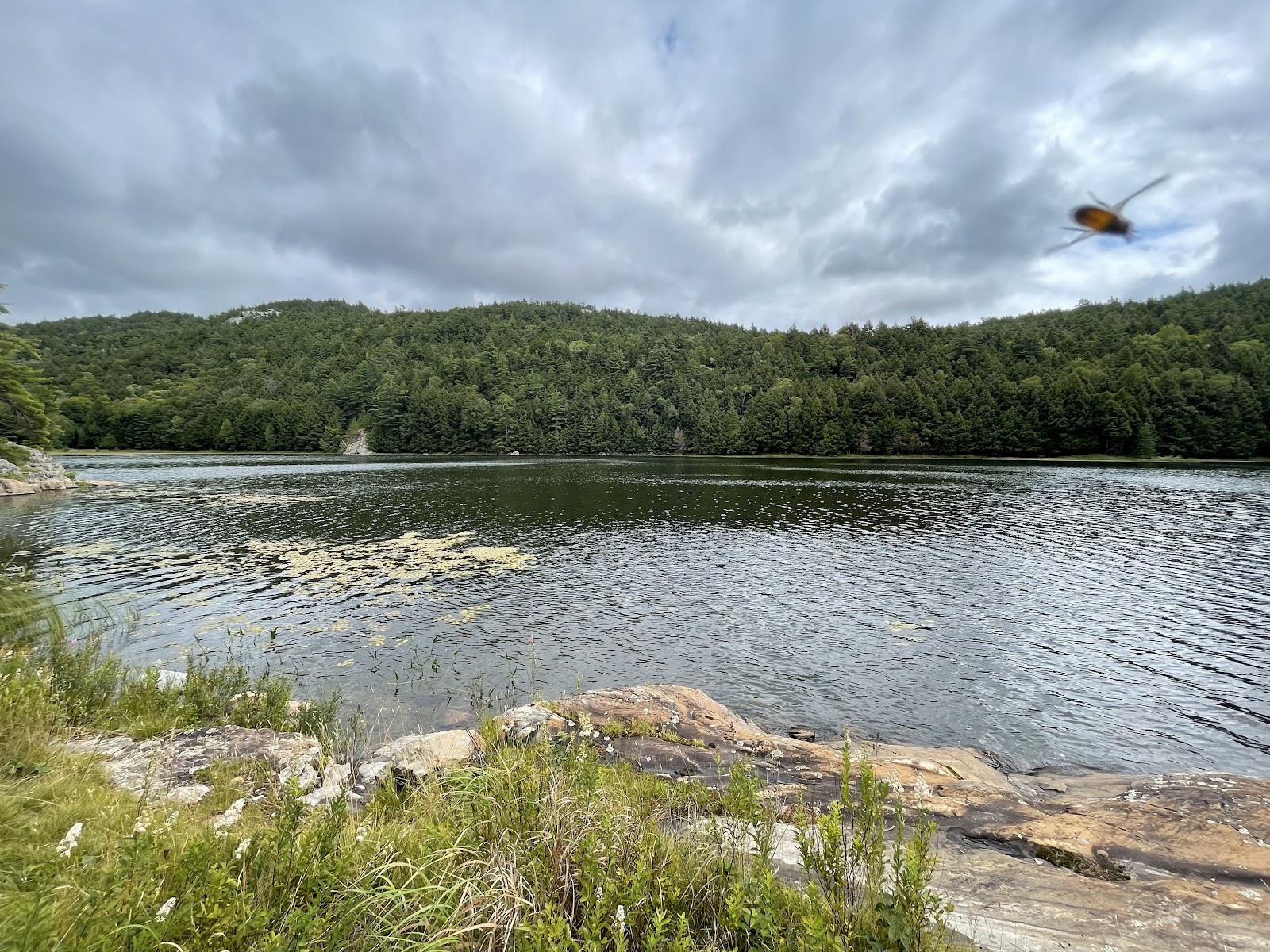
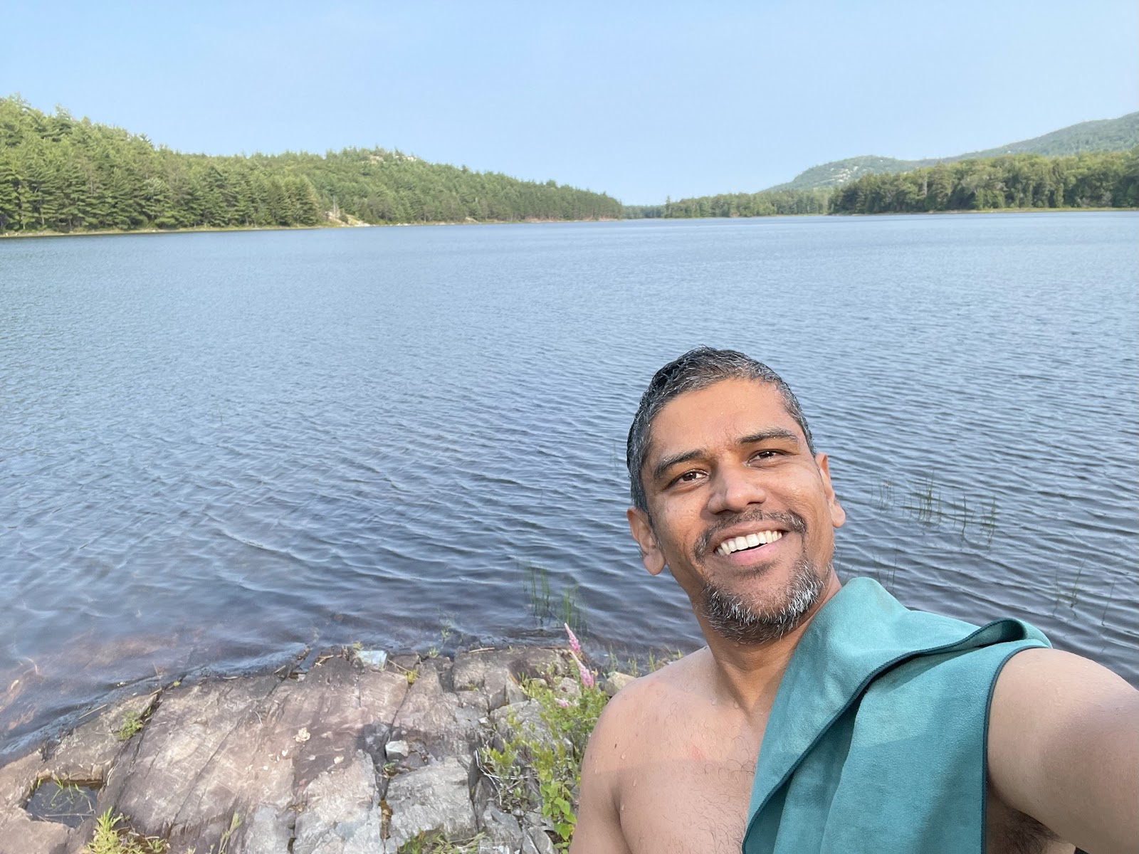
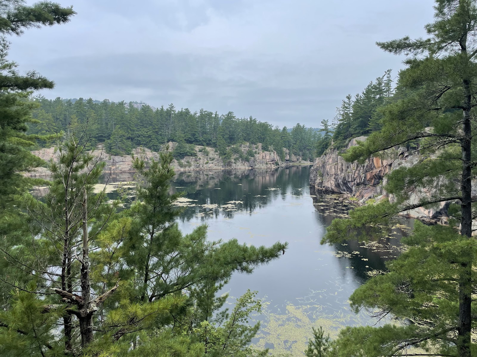
Finally, I reached my campsite H6 and was treated to some very good views of Cave lake (If you spotted the bug on my camera lens in the second image below, you'd know what I was dealing with)


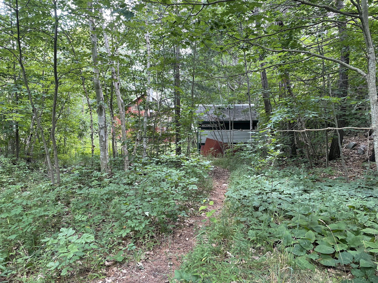
I cross an abandoned cottage on the trail - this is probably a 100+ years old.


I woke up to another beautiful day. Weather plays such a critical role in all wilderness adventures and I have always respected nature and am always prepared to change plans in adverse weather conditions. That was not required today though!

The meds worked, and I was now fully tuned in. I could see myself completing the hike and did not need to plan contingency measures which were on my mind the first 2 days due to the fever. The plan was on. I had breakfast, packed up and left for site H23.


Day 4: H23 to H35 (Boundary Lake) [11.9 KM]

The trail was overgrown at a couple of places but these sections were fairly short and didn't pose a significant risk of surprising a bear or a wild animal. I always announce myself in these sections.


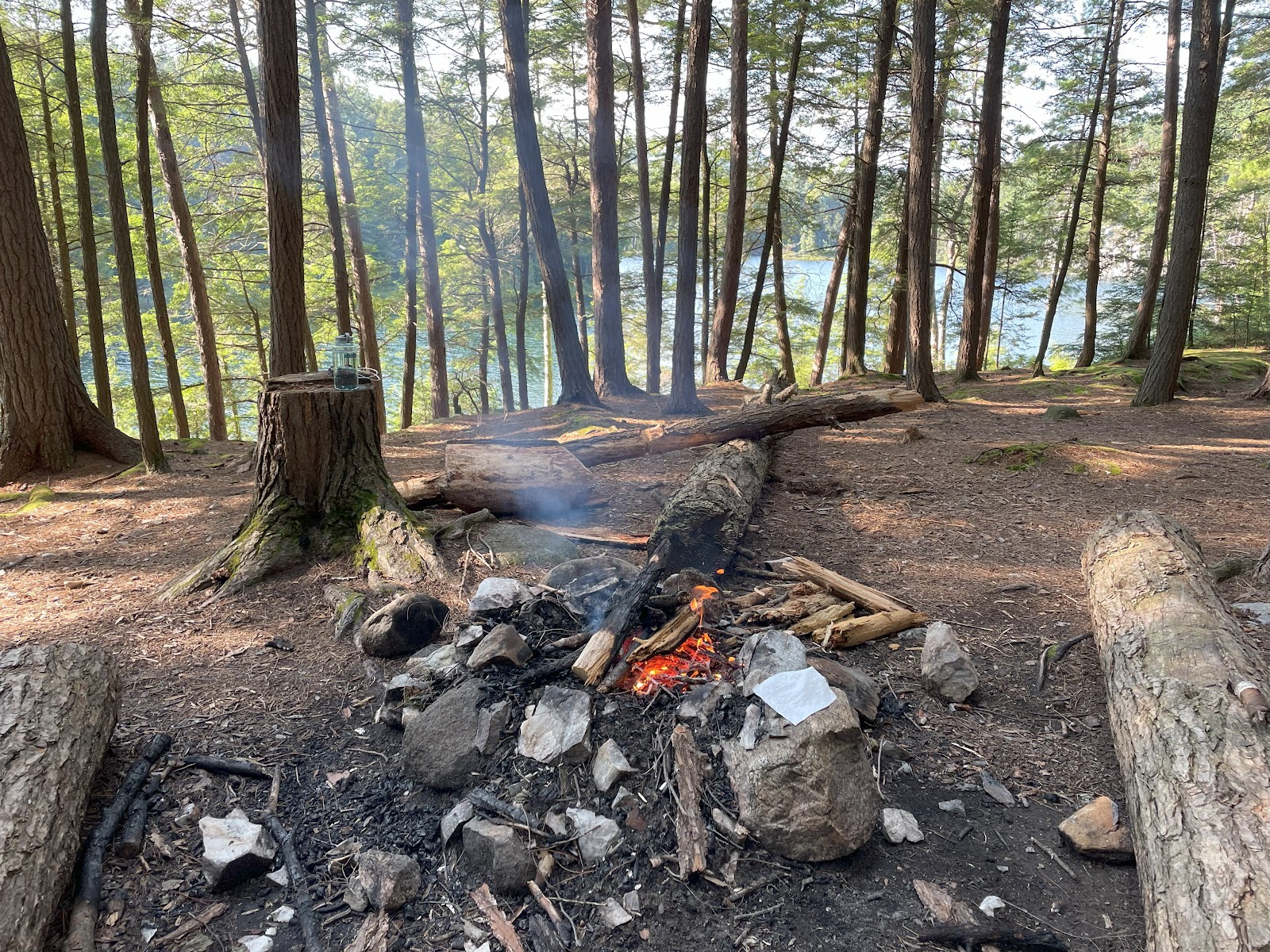
By this time, I was fully dialed-in and was able to visualize me completing the rest of the hike. As always, once I finished dinner, I hung up my food and called it a day (rather a night!)
Day 5: H35 (Boundary Lake) to H46 (Bunnyrabbit Lake) [10.8 KM]
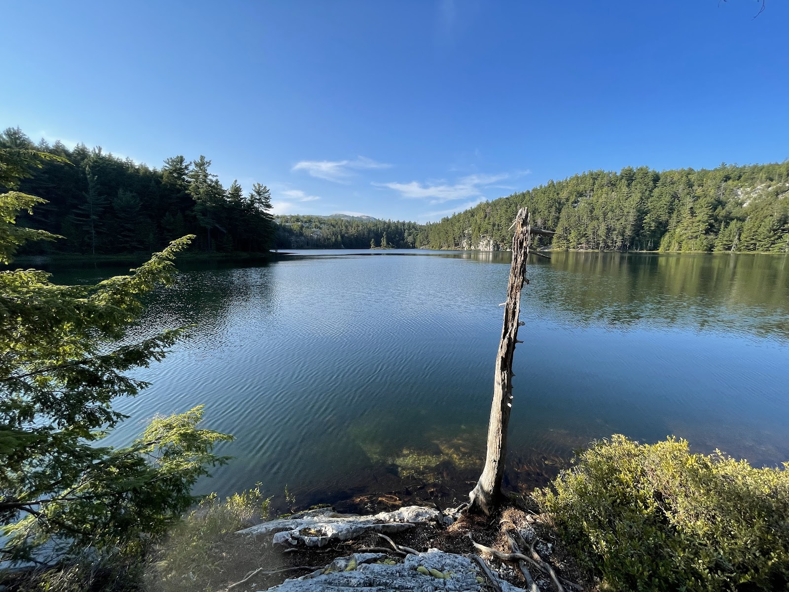
I typically wake up an hour before sunrise (~5AM) so as to finish my breakfast, pack up my tent, watch the sun rise and start my day in ~3 hours. The sun rise on this site was beautiful...


I traversed the hills and reached my site for the day, H46 on Bunnyrabbit lake. Yes, the lake does look like a bunnyrabbit on the map (see below)


Day 6: H46 (Bunnyrabbit Lake) to H50 (Sealey's Lake) [Cross the "Crack"; 12.6 KM]
I wanted to start early since crossing the Crack wasn't going to be easy. I woke up at 4:30AM and started my morning routine.


I started my hike and was now hiking through familiar terrain - rolling hills, creek crossings (none in the last couple of days), granite rocks etc., Once in a while, you get some humor on the trail. The first one is right before a very steep uphill section (that captured my sentiments as well!) and the second one was a fallen marker tree.


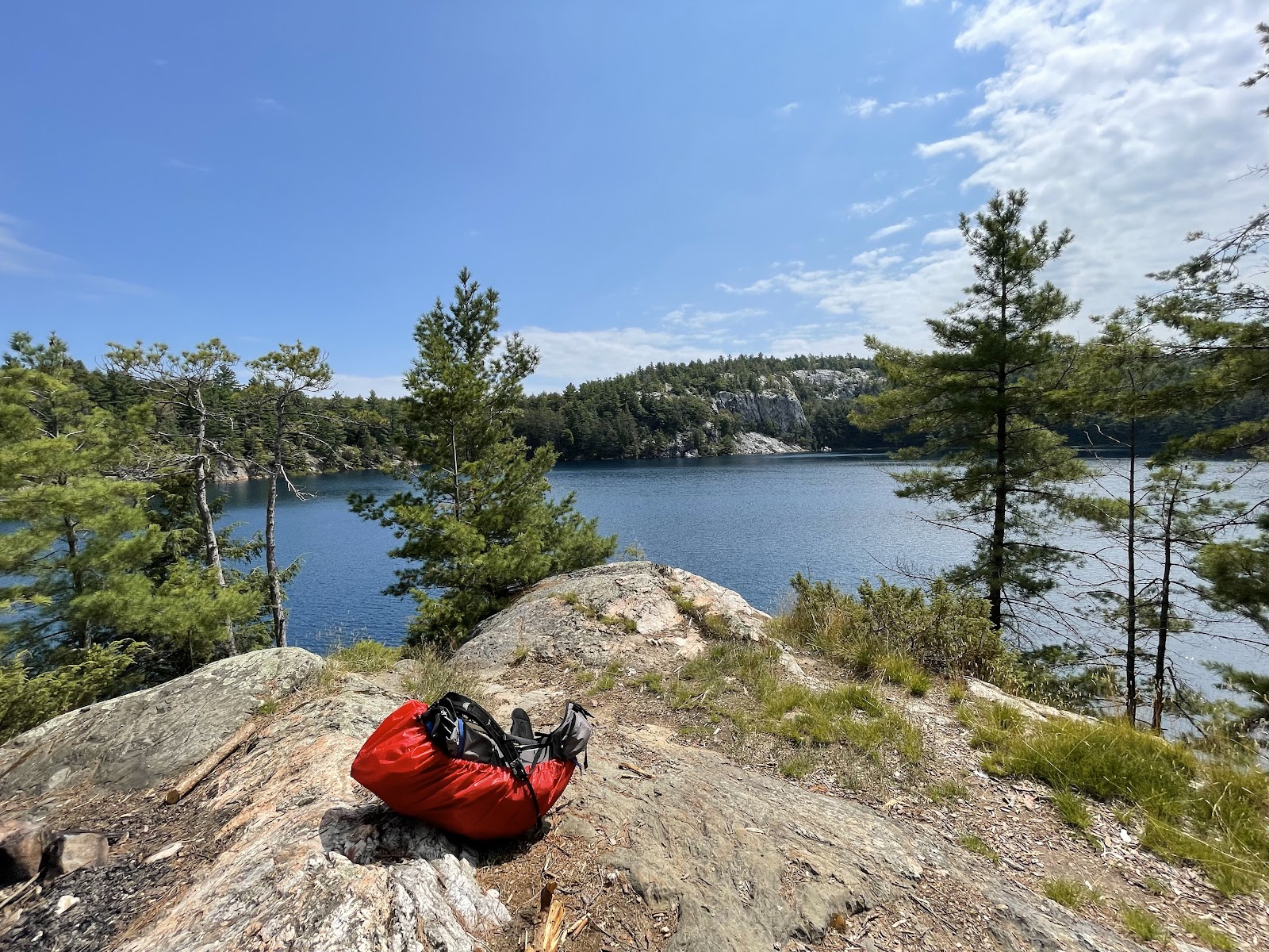
As I reached mid-day, I was hungry and wanted to take a pitstop for a full lunch (I normally just eat trail mix and energy bars for lunch). I was near site H48, so I thought it was worth a visit to see it was empty. Luckily for me, it was. It was a beautiful site on Proulx Lake and had a 360-degree view of the lake. If I do this trail again, I'd stop by here for a night.
Post lunch, I knew that I had an uphill section to the "Crack" and was ready for it. Some of the granite sections would have been risky if wet (see the uphill climb below)


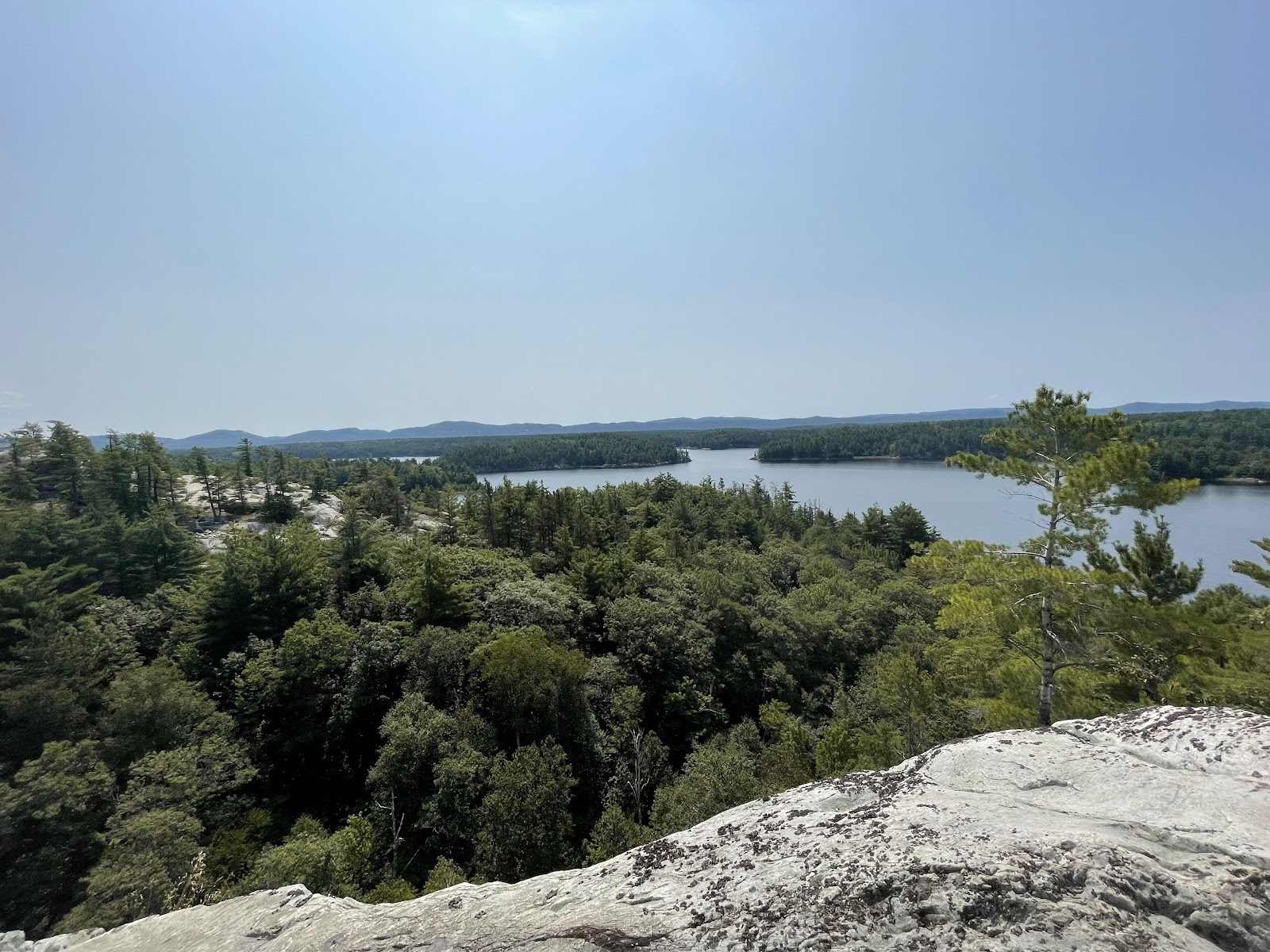
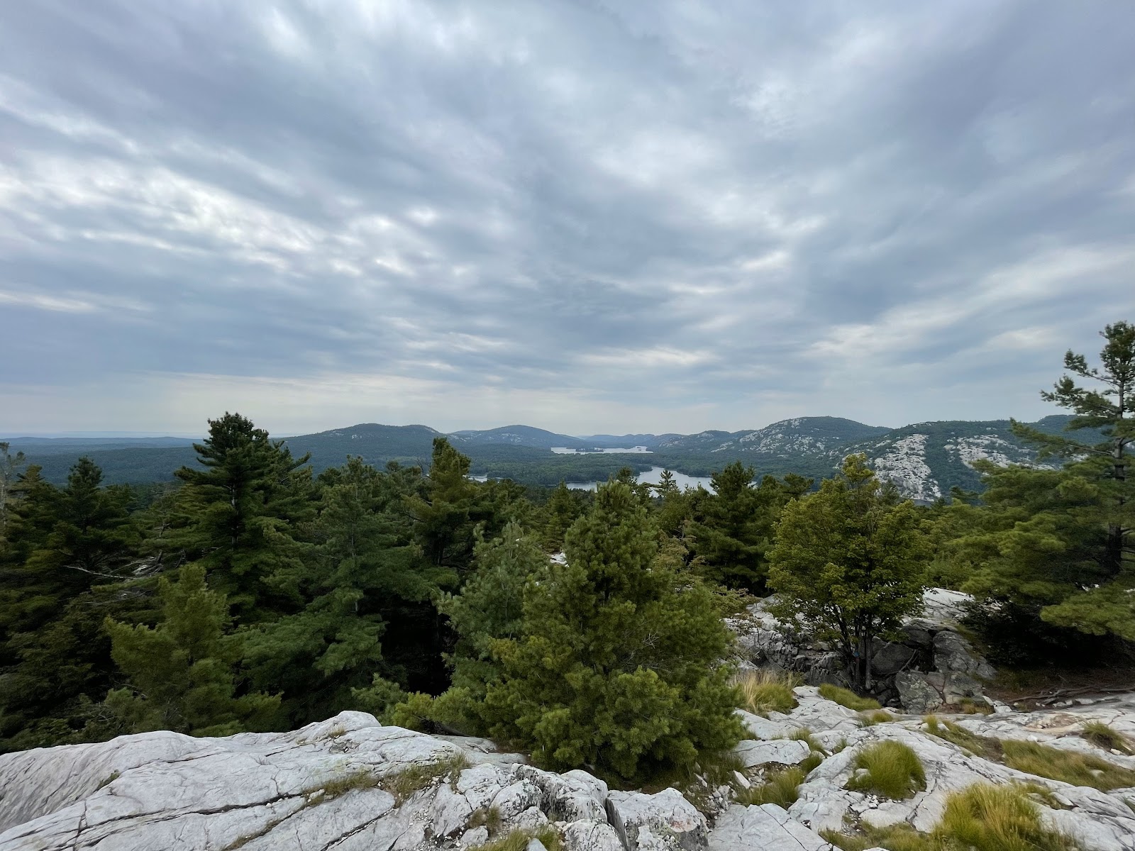
And, after a few hours on granite and hilly forests, I reached the "Crack". I could see some clouds approaching for the first time on this trail and couldn't have been more thankful to the weather gods for providing me with clear passage.


Up next: A video blog of this trip that shows various campsites and a few creek crossings.
PS: I did have to find a hotel on my way back as I was too fatigued to drive. Better be safe than sorry. I reached Toronto the next day.


No comments:
Post a Comment